Test Holes/GNSS
Test Hole Excavation
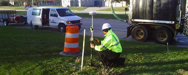
Test holes are non-invasive vacuum excavations at critical points to determine the precise horizontal and vertical position of underground utilities, as well as the utility type, size, condition, and other various characteristics. This is a process that allows engineers, designers, and project owners to "look underground" and map the utility infrastructure without massive excavations. This reduces conflicts and depicts reliable data for existing utilities that is critical for making informed decisions and supporting risk management protocol regarding the impact of these utilities on your project. Once complete, we backfill and restore the test holes after documenting measurements and observations.
GNSS (Global Navigation Satellite System) Our GNSS provides accurate utility infrastructure geopositioning which leads to long term cost savings, since an electronic record is available when needed for repair and maintenance of the line. Positions, with both horizontal and vertical RMS precision, are continuously plotted on your native CAD map, and easily exported to the GIS, CAD, or modeling environment.


